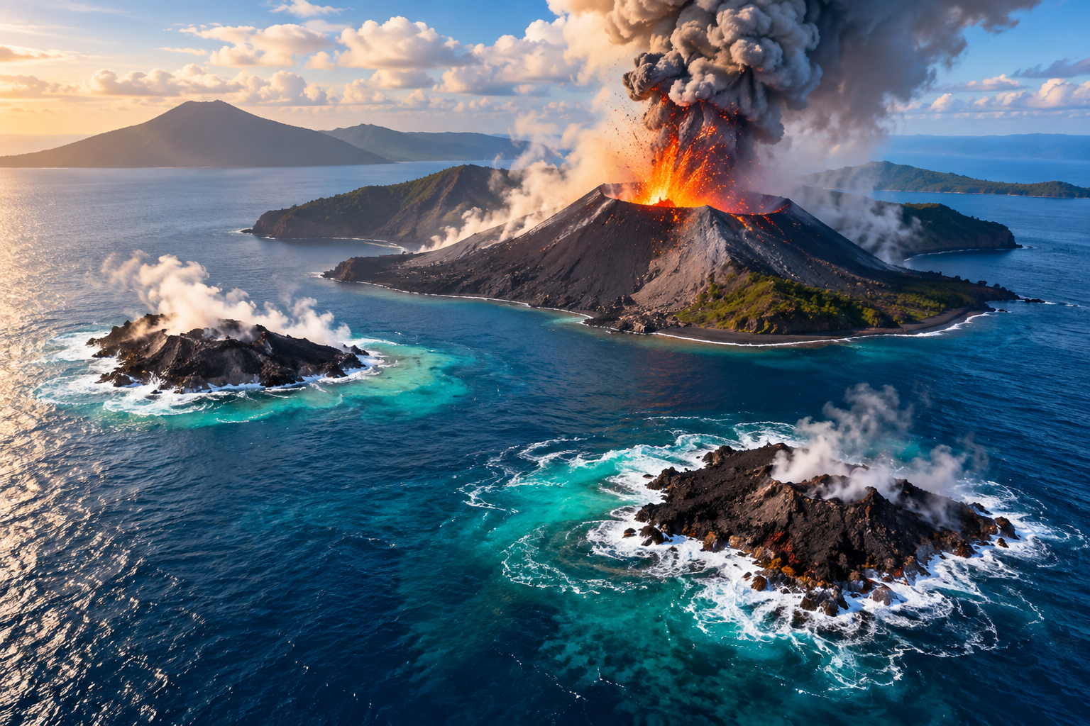
Two island-like formations have been identified on opposite sides of the volcano in Indonesia’s Sunda Strait, raising fresh scientific questions about underwater volcanic activity, the origins of the landmasses and their long-term survival.
Two New Landforms Detected Near Anak Krakatau
Two island-like formations have appeared in the waters surrounding Indonesia’s Anak Krakatau volcano following a prolonged eruption in early September, according to the country’s Geological Agency. If confirmed as newly formed volcanic land, the discoveries could represent the first separate islands known to have emerged within the historic Krakatoa caldera since Anak Krakatau became permanently established above sea level in 1930.
The formations were identified hundreds of metres from opposite sides of Anak Krakatau, with one located to the northwest and the other to the southeast. Preliminary measurements place the northwestern feature approximately 760 metres from the volcano’s coast and the southeastern formation around 495 metres away.
However, authorities have not yet verified their dimensions, height above sea level or precise geological origins. Scientists are still investigating whether the formations consist of freshly erupted volcanic material, exposed remnants of an older volcanic structure or a combination of both.
A 25-Hour Eruption Preceded the Discovery
Anak Krakatau, whose name means “Child of Krakatoa”, had reportedly remained relatively quiet for more than two years before volcanic activity resumed in July. The activity culminated in a continuous eruption lasting approximately 25 hours from late September 4.
According to Indonesia’s Geological Agency, lava flows and pyroclastic material generated during the episode added nearly 33 hectares to the island’s area. The eruption renewed scientific attention on the volcano and prompted further observations of the surrounding waters.
In the weeks that followed, mariners and volunteers reported seeing unusual landforms near the caldera. The formations were also identified in Sentinel satellite imagery captured after the eruption, giving researchers additional material to examine.
Although the timing suggests a possible connection with the eruption, scientists have cautioned that the available evidence is not sufficient to establish exactly how the two features formed.
Drone Footage Provides an Unexpected Clue
One of the earliest public glimpses of a possible new formation came from drone footage recorded during a search for missing people near Anak Krakatau.
Yodistara Nugraha, a tourism activist from Kalianda in South Lampung, had been using a drone to survey shorelines and shallow waters while volunteers searched for a group of journalists and others who had disappeared during a reporting trip to the volcano.
During one of his final flights, the drone crossed the channel between Sertung Island and Anak Krakatau. The footage captured waves breaking over a low, dark mass that appeared to resemble the northwestern formation.
Nugraha said he did not initially recognise the potential geological significance of the footage. He realised its importance only later, after reviewing the images.
The search did not locate the missing group, but the recording became an unexpected source of evidence for researchers examining the changes around the volcano.
Scientists Investigate Two Possible Explanations
Researchers are considering two principal explanations for the appearance of the formations: the emergence of new volcanic vents or the accumulation and exposure of material within the shallow waters of the old Krakatoa caldera.
The Geological Agency has said satellite imagery alone cannot establish the origin or composition of either feature. Investigators also cannot yet determine whether volcanic material erupted directly at the locations or whether the formations indicate previously unconfirmed eruptive vents.
Asri Oktavioni Indraswari, an assistant professor in the Geosciences Department at the University of Indonesia, has identified both possibilities as areas requiring further investigation.
The distinction is important because the discovery of new vents would suggest that volcanic activity may not be restricted to Anak Krakatau’s central conduit. In contrast, formations created by the accumulation of loose eruptive material could represent a temporary consequence of the September eruption.
Southeastern Formation May Be Linked to an Older Volcano
The southeastern feature presents a separate geological possibility. Researchers from Indonesia’s National Research and Innovation Agency, known as BRIN, have noted that it aligns with a known underwater rock remnant associated with Danan, one of Krakatoa’s former volcanic peaks.
Dini Nurfiani, a researcher at BRIN’s Research Center for Geological Disaster, said her team had visited the same location during fieldwork in 2023 and collected rock samples there.
Based on the earlier observations, researchers suspect the feature could be exposed rock from the old Danan structure rather than a newly opened volcanic vent. However, further evidence would be needed to establish whether recent eruptions have deposited additional material around it.
This possibility highlights the complexity of interpreting changes in a volcanic landscape where new deposits, older geological structures and shifting underwater terrain can overlap.
Why the Northwestern Formation Matters
The northwestern formation may offer different clues about the volcano’s current behaviour. If it consists mainly of loose debris deposited during the recent eruption, waves and currents could erode it relatively quickly.
If researchers instead confirm that it marks a new submarine vent, the discovery could have broader implications for understanding how magma moves beneath the caldera.
A new vent would potentially indicate a more distributed pattern of volcanic activity, rather than eruptions occurring exclusively through the volcano’s established central outlet. Scientists would need further observations and geological evidence before reaching such a conclusion.
The distinction also matters for safety. Persistent unrest around a shallow underwater vent could create operational hazards for vessels travelling through the Sunda Strait and potentially affect nearby aviation routes, according to concerns raised by researchers.
Lessons From Krakatoa’s Catastrophic Past
The region has a long history of dramatic volcanic change. The catastrophic eruption of Krakatoa in 1883 destroyed much of the original island, killed more than 36,000 people and produced effects that were observed far beyond Indonesia. Its explosions were reportedly heard thousands of kilometres away, while atmospheric pressure waves travelled around the world.
Anak Krakatau emerged decades later within the caldera left by that disaster. Submarine eruptions were observed from late 1927, and volcanic material first rose above the sea in 1928 before disappearing beneath the waves. Similar changes occurred again before the island became permanently established above sea level in 1930.
The history demonstrates that the appearance of land near an active volcano does not necessarily mean it will remain there. Volcanic deposits can build up quickly, while erosion and the movement of ocean water can reshape or remove them during quieter periods.
The Volcano’s Landscape Remains Highly Dynamic
Anak Krakatau’s shape has changed significantly during its more recent history. In December 2018, a major flank collapse accompanied by volcanic activity reduced its peak from more than 330 metres to roughly 110 metres. A Geological Agency report in July put the peak at approximately 157 metres.
Volcanologists note that low-lying volcanic landforms are particularly vulnerable to changes caused by waves, currents and the movement of loose material. Their development depends on whether new deposits accumulate faster than the sea erodes them.
The two newly reported formations will therefore require continued observation, including closer imagery, geological sampling and confirmation of whether they remain above water at high tide.
Outlook: Scientific Confirmation Will Determine the Significance
The appearance of two island-like formations after Anak Krakatau’s September eruption offers researchers a new opportunity to study the interaction between volcanic activity, underwater geology and coastal erosion. But their discovery does not yet establish that two permanent islands have been created.
The immediate questions are whether the formations are genuinely new, what materials they contain and whether either marks a new eruptive vent. Their stability will depend on continuing volcanic activity, the structure of the deposits and the forces of the surrounding sea.
Until further evidence is available, the formations should be treated as preliminary geological discoveries rather than confirmed permanent islands. Continued monitoring will help determine whether they survive, disappear through erosion or provide evidence of a broader change in volcanic activity beneath the historic Krakatoa caldera.