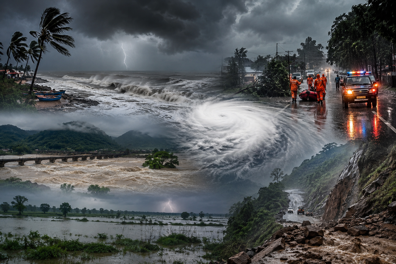
Odisha, Chhattisgarh, West Bengal and Several Other Regions Brace for Extremely Heavy Rain, Strong Winds and Flood Risk as Monsoon System Makes Landfall
The India Meteorological Department (IMD) has issued a nationwide weather advisory as a deepening depression over the northwest Bay of Bengal is expected to make landfall along the Odisha–West Bengal coast, triggering widespread rainfall across eastern, central, northern and western India. The weather system is forecast to bring heavy to extremely heavy rainfall, strong winds, rough sea conditions and the possibility of localised flooding in several states over the coming days.
Authorities have urged residents in vulnerable districts to remain alert, while fishermen have been advised to stay away from the sea until weather conditions improve. Disaster management teams have also been placed on standby as the depression is expected to strengthen monsoon activity across large parts of the country.
Depression Set to Cross Odisha–West Bengal Coast
According to the IMD, the depression is currently centred over the northwest Bay of Bengal, adjoining the Odisha and West Bengal coastline.
Meteorologists expect the system to make landfall between Paradip (Odisha) and Sagar Island (West Bengal) during the forenoon or around midday before gradually moving inland.
Once the system crosses the coast, it is expected to carry enormous amounts of moisture into eastern and central India, resulting in widespread rainfall, thunderstorms and gusty winds.
Although the depression is likely to weaken gradually after landfall, its remnants are expected to continue producing heavy rainfall across several inland states during the week.
Extremely Heavy Rainfall Forecast for Eastern India
The IMD has placed several districts under heavy rainfall alerts, particularly across eastern India, where the depression is expected to have the greatest impact.
States Under Weather Alert
| State | Forecast |
|---|---|
| Odisha | Heavy to extremely heavy rainfall |
| Chhattisgarh | Extremely heavy rainfall at isolated places |
| Gangetic West Bengal | Heavy to very heavy rainfall |
| Bihar | Heavy rainfall likely |
| Jharkhand | Widespread moderate to heavy rainfall |
Several rivers and reservoirs are expected to witness rising water levels, increasing the possibility of flash floods in low-lying districts.
State authorities have been instructed to closely monitor vulnerable areas and activate emergency response systems wherever necessary.
Strong Winds and Dangerous Sea Conditions
The approaching depression is also expected to significantly impact coastal weather conditions.
The IMD has forecast:
-
Sustained winds of 45–55 km/h
-
Gusts reaching up to 65 km/h
-
Rough to very rough sea conditions
-
High waves along the Odisha, West Bengal and northern Andhra Pradesh coastlines
The weather department has strongly advised:
-
Fishermen to avoid venturing into the sea.
-
Small fishing vessels to remain anchored.
-
Coastal residents to exercise caution.
-
Port authorities to monitor maritime operations closely.
Marine activities may remain suspended until weather conditions stabilise.
Active Monsoon to Spread Across Large Parts of India
Beyond eastern India, the depression is expected to energise monsoon activity across several other regions.
North India
Heavy rainfall is likely in:
-
Himachal Pradesh
-
Uttarakhand
-
Jammu & Kashmir
These states could also witness landslides, overflowing rivers and road blockages in mountainous areas.
Central India
States expected to receive widespread rainfall include:
-
Madhya Pradesh
-
Vidarbha
-
Chhattisgarh
Agricultural regions are likely to benefit from increased soil moisture, although excessive rainfall may cause temporary waterlogging.
North-East India
The IMD has forecast heavy rainfall across:
-
Assam
-
Meghalaya
-
Arunachal Pradesh
-
Nagaland
-
Manipur
-
Mizoram
-
Tripura
The hilly terrain in these states increases the possibility of landslides and flash floods during prolonged rainfall.
Western and Southern India
Monsoon activity is also expected to remain active across:
-
Gujarat
-
Maharashtra
-
Konkan
-
Goa
-
Kerala
-
Karnataka
Several districts in these states may receive isolated heavy rainfall over the next few days.
Odisha Already Witnesses Exceptionally Heavy Rain
Even before the depression officially makes landfall, Odisha has experienced intense rainfall.
According to IMD observations:
-
Jagatsinghpur received approximately 33 cm of rainfall within 24 hours, among the highest rainfall totals recorded during the current monsoon spell.
-
Several neighbouring districts also recorded very heavy rainfall.
-
Waterlogging and local flooding have been reported in multiple low-lying areas.
Heavy rainfall has also been recorded across parts of Gujarat, Konkan, Maharashtra, Karnataka and Chhattisgarh.
Flooding and Infrastructure Disruptions Possible
Authorities have warned that continuous heavy rainfall may trigger localised flooding and disrupt normal life in several states.
Potential Impacts
-
Urban flooding.
-
Flash floods in river basins.
-
Landslides in hilly regions.
-
Waterlogging in cities.
-
Damage to roads and bridges.
-
Railway delays.
-
Power supply interruptions.
-
Crop damage in vulnerable agricultural areas.
Emergency response agencies have been directed to remain prepared for rescue and relief operations if required.
Delhi to Continue Receiving Monsoon Showers
The IMD has also forecast wet weather for the national capital.
Delhi is expected to experience:
-
Generally cloudy skies.
-
Light to moderate rainfall.
-
Thunderstorms accompanied by lightning.
-
Maximum temperatures between 34°C and 36°C.
-
Minimum temperatures around 25°C to 27°C.
The rainfall is expected to provide some relief from humid conditions while keeping daytime temperatures relatively stable.
Agriculture Set to Benefit, but Excess Rain Remains a Concern
The active monsoon is expected to improve water availability across major agricultural regions.
Positive Impact
-
Better soil moisture for kharif crops.
-
Improved reservoir storage.
-
Enhanced groundwater recharge.
-
Increased irrigation availability.
-
Stronger rural agricultural activity.
However, excessive rainfall in some districts could also:
-
Damage standing crops.
-
Delay harvesting operations.
-
Increase pest and disease risks.
-
Affect transportation of agricultural produce.
Balanced rainfall distribution will therefore remain critical for the farming sector.
Disaster Management Agencies on High Alert
State governments have activated emergency preparedness measures ahead of the depression's landfall.
Authorities are:
-
Monitoring river levels.
-
Deploying disaster response teams.
-
Preparing evacuation plans where necessary.
-
Coordinating with local administrations.
-
Issuing regular public advisories.
Citizens have been urged to stay updated through official IMD bulletins and follow instructions issued by local authorities.
Economic Impact of the Weather System
Heavy monsoon activity can have both positive and negative economic consequences.
Potential Positive Effects
-
Improved agricultural productivity.
-
Better water storage levels.
-
Increased hydroelectric generation.
-
Stronger rural consumption over time.
Potential Negative Effects
-
Logistics disruptions.
-
Infrastructure damage.
-
Delays in mining and construction activities.
-
Higher insurance claims.
-
Temporary supply-chain interruptions.
Several sectors, including agriculture, infrastructure, transportation, cement, fertilisers and insurance, could experience short-term operational impacts depending on the intensity of rainfall.